
Room I
MARQ
The territory and the origin of the huerta
Two thousand years of relations between Alicante and the sea, and the shaping of the farmland fed by the Tibi reservoir.
Historical narration & soundscape
The museum facility hosts three thematic sections on territory, coastal defence, and the ennoblement of the Alicante Huerta.
Built in 1594 by Pere Llopis —whose name and date can still be read carved on the talus—, the Torre Sarrió is part of the network of watch, refuge and defence towers raised between the 15th and 17th centuries in Alicante's Huerta to face the raids of the Barbary corsairs.
Restored in 2010 under the direction of the architect Màrius Bevià after decades of neglect and fires, the tower was rehabilitated in two phases up to 2021. In July 2026 it opened to the public as the Interpretation Centre of the Watchtowers of the Huerta, a joint project of Alicante City Hall, the Provincial Council and MARQ, funded by Next Generation funds and the Tourism Sustainability Plans.
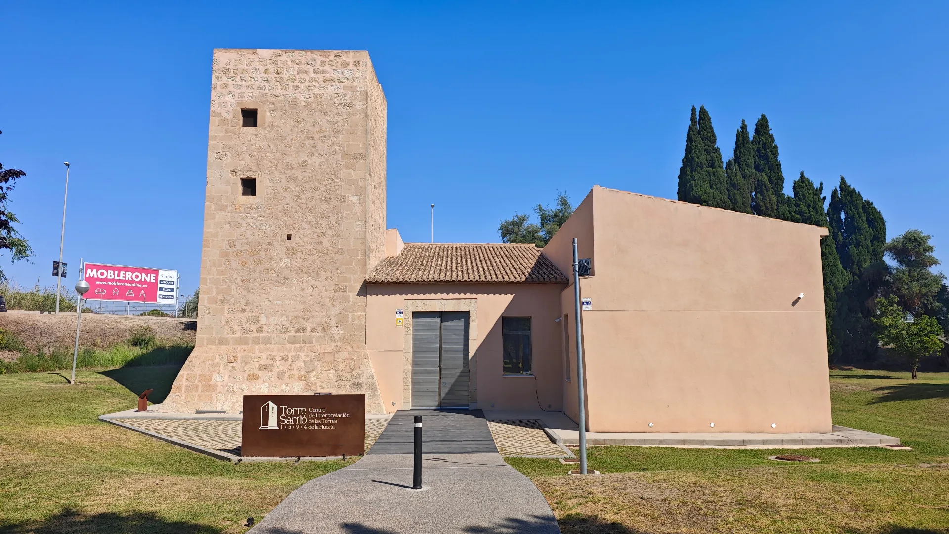
Central hub of the heritage circuit next to Lucentum archaeological site.
Information on the venue: The following description outlines the exhibition space installed in Torre Sarrió by Alicante City Council, MARQ and Fundación MARQ, with museography by Rocamora Diseño y Arquitectura.
Two thousand years of relations between Alicante and the sea, and the shaping of the farmland fed by the Tibi reservoir.
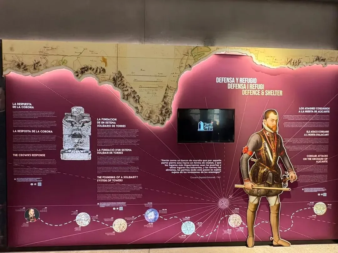
Loopholes, machicolations and battlements against the corsair. Daily life under threat and the alerts passed between towers.
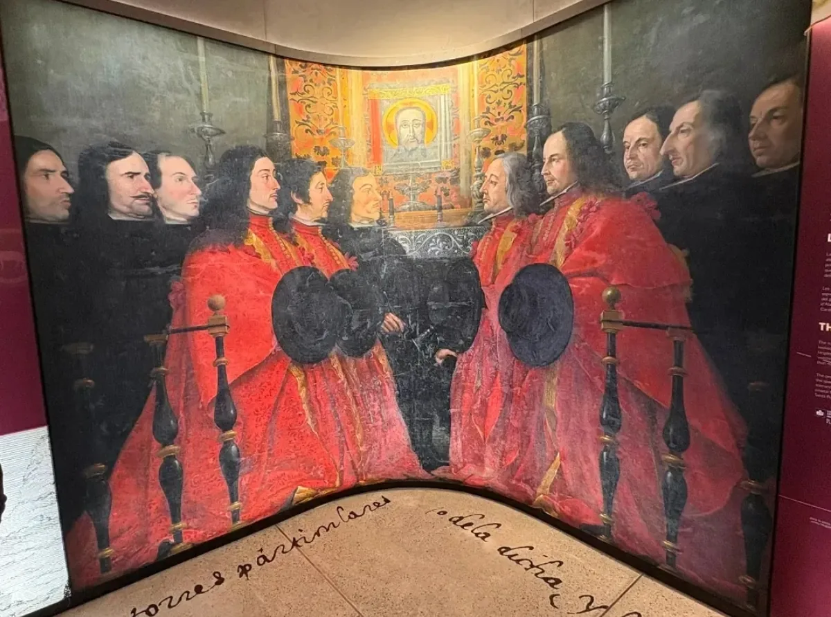
Stately houses built alongside the towers: when defence became a symbol of prosperity and status.
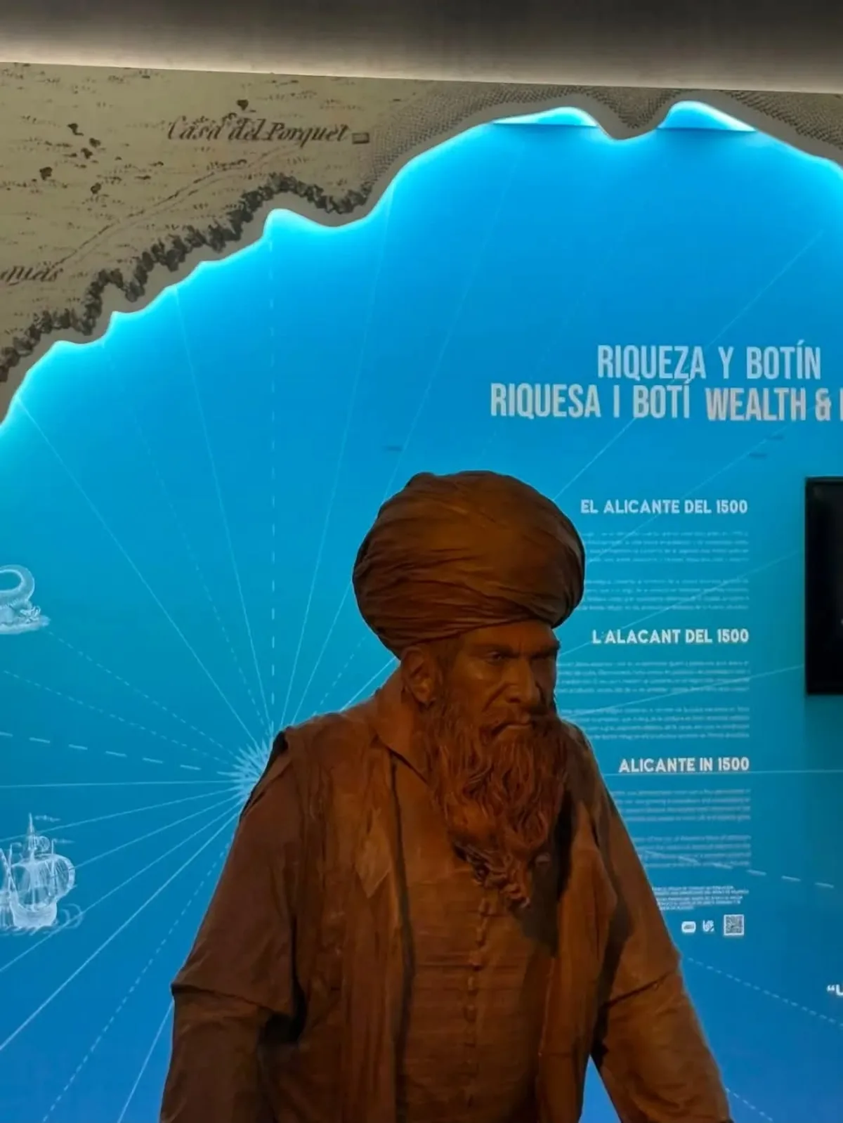
«The wealth of our huerta had a counterpart in the raids of North African corsairs: the farmers needed to protect themselves, and so this unique network of towers took shape.»

Barbarossa, Dragut, Arraéz… The names of the Ottoman and Barbary corso marked the life of the Alicante coast for two centuries. The towers replied with fire and smoke: a chain of alerts linking the huerta with the castle of Santa Bárbara.
The fear of an era, the memory of a people · Heritage that unites us
Cultural gatherings, conferences and educational activities organized at the Interpretation Centre and announced via our official channels.
The «Castle Route» cycle by the Juan Gil-Albert Institute of Culture offers a specialist guided tour of Torre Sarrió (Heritage Site, 1594), today the Huerta Towers Interpretation Centre, led by renowned archaeologist Dr. José Luis Menéndez Fueyo. The visit brings together architectural analysis and historical defence context. Advance registration is required.
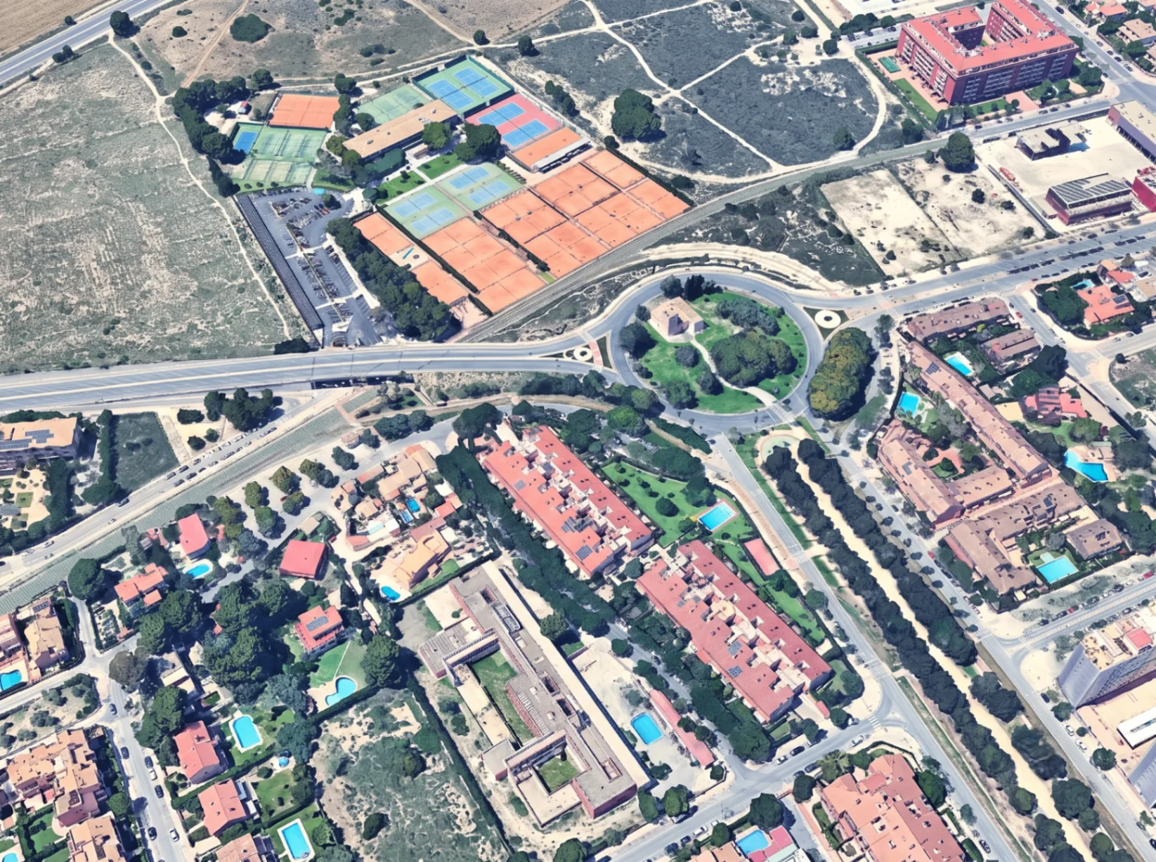
The tower stands next to Glorieta Carolina Pascual, at the corner of Miriam Blasco and Vía Parque, a few metres from the Roman site of Lucentum and Albufereta beach. In the 16th century it stood on the road linking the Águilas and Santiago towers with the Ciprés tower.
The contents of this portal have been compiled through specialized bibliography, public records, institutional research sources, and authorized materials for cultural and educational dissemination.
«Coastal Sentinels: Defense and Orchard Towers of Alicante / Conquering Fear, Dominating the Coast»
Provincial Archaeological Museum of Alicante (MARQ)
«Direction of archaeological interventions and Integral Heritage management»
City Council of Alicante
«Architectural restoration projects and monographs on defensive architecture»
Heritage conservation architects
«Topoguide of the Orchard Towers and educational cultural dissemination proposals»
City Council of Alicante
«The Tibi Dam and the irrigation system in the Alicante Orchard»
Juan Gil-Albert Alicante Institute of Culture
«Photographic documentation and epigraphic reading of Pere Llopis's foundation inscription (1594)»
Alicante heritage research and dissemination
«Archaeological intervention report, planimetry and stratigraphic analysis at Torre Sarrió (2009-2010)»
General Directorate of Valencian Cultural Heritage
«Museographic project and exhibition design for the Interpretation Centre of the Huerta Towers»
Alicante City Council / Provincial Council of Alicante
«Territorial cartography and aerial orthophotography of the Huerta of Alicante and Albufereta (CC-BY 4.0)»
National Geographic Institute / Cartographic Institute of Valencia
This portal gives special recognition to the scientific work of archaeologists José Luis Menéndez Fueyo and José Manuel Pérez Burgos, restoration architects such as Màrius Bevià i García, ARPA Patrimonio, Rocamora Arquitectura, photographer Elías Gomis, and public archives that have contributed to preserving the memory of Alicante's Orchard Towers (Arts. 32 and 35.2 Spanish Intellectual Property Law).
Technical planimetries, historic ship graffiti, and stratigraphic reports from the official ARPA Patrimonio intervention preserved at the MARQ Museum.
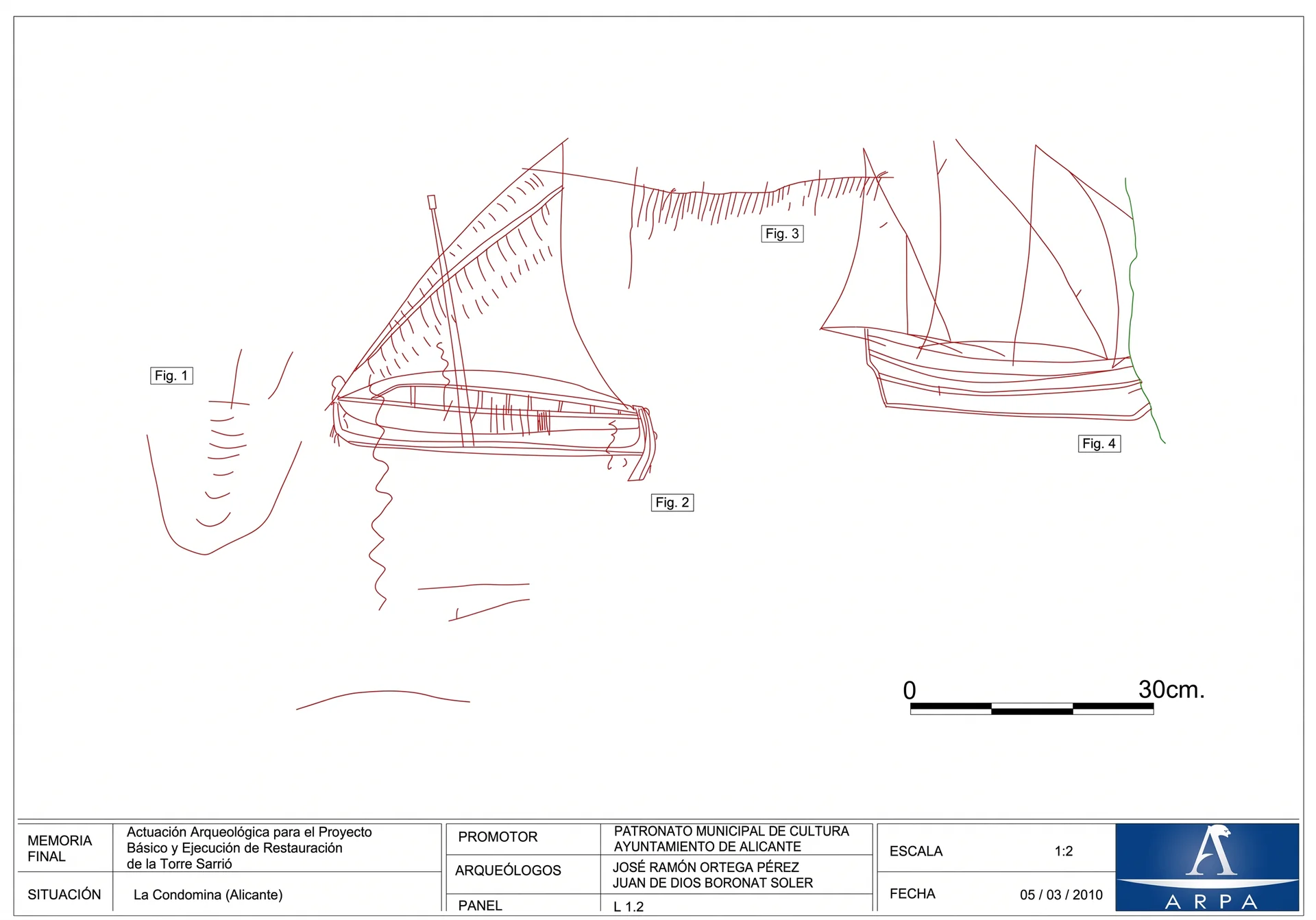 Naval Iconography
Plate L 1.2 · Conservation Laboratory Survey
Freehand incised drawings uncovered on the tower's interior lime plaster. They rigorously depict 16th-17th century lateen-rigged galleys and corsair rowing fustas navigating the coastline.
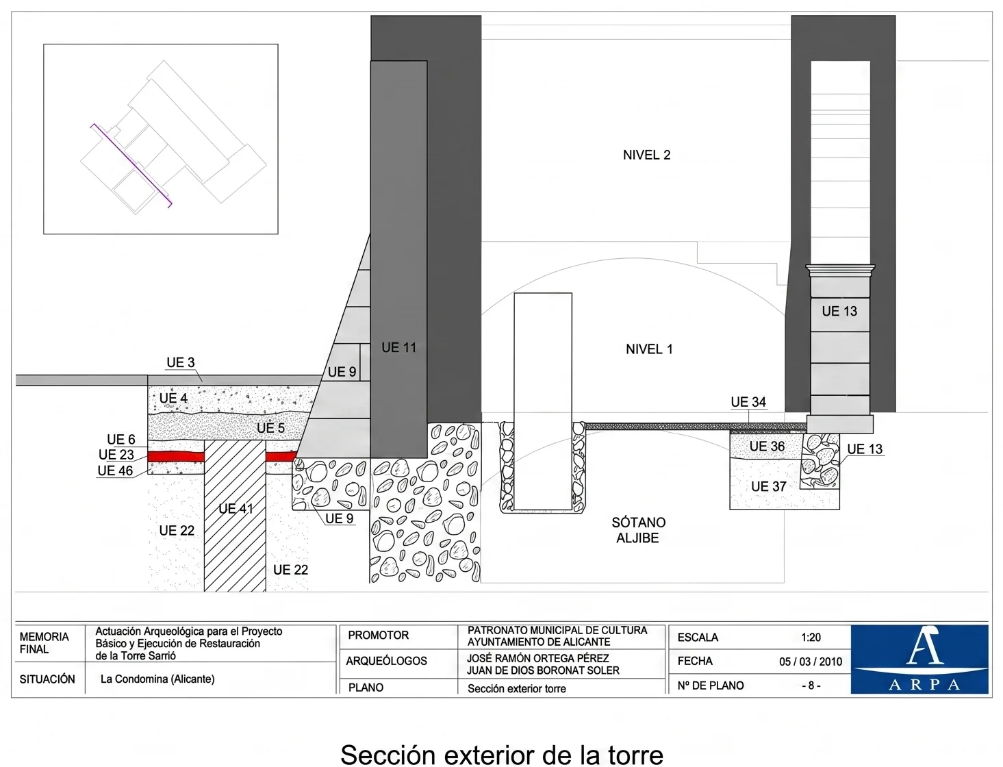 Structure & Hydraulics
Survey Drawing No. 8 · Stratigraphic Section
Cross-section documenting the 0.60 m foundation depth, the 2.40 m battered talud wall, and the subterranean cistern connected to the estate rainwater network.
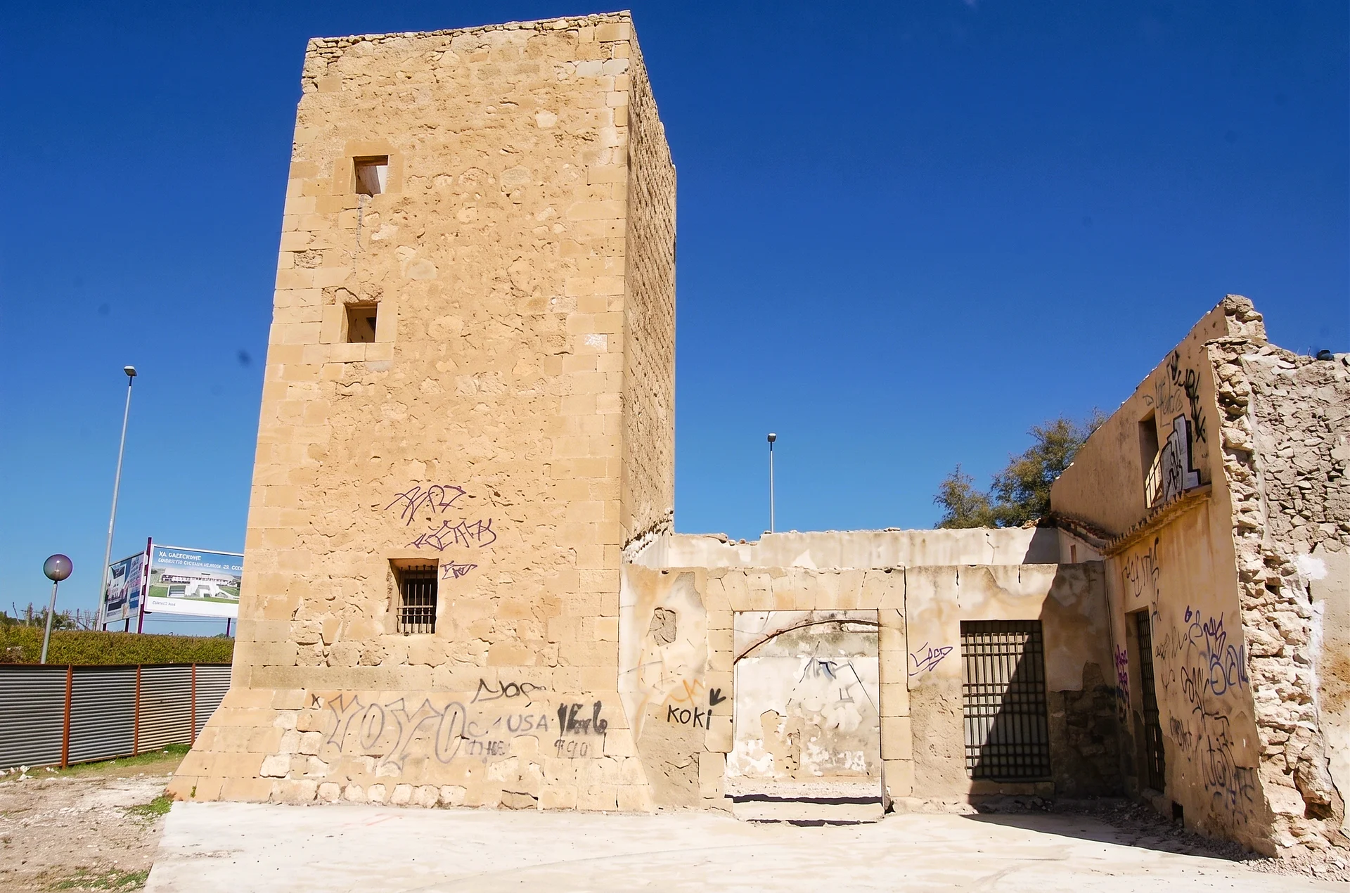 Heritage Monument
Sierra de San Julián Limestone Ashlar
Exterior elevation showing load-bearing rubble masonry walls, quoined dressed-ashlar corners, and the adjoining farmhouse portico.